By John Summerson — Many are aware of the abundant cycling opportunities in Utah. From the grandeur of the canyons and red rock formations in the south to the impressive alpine country in the north, the state offers almost everything to the road (and mountain) cyclist. All of this convoluted topography creates challenges in reaching the upper elevations of certain areas on a bike and as one might expect, Utah also contains a substantial number and variety of cycling climbs within its borders. In fact, for those looking for a particular challenge, there are some of the most difficult paved ascents in the United States in the area. One of these is the climb of Castle Valley/Gateway in the southern half of the state. At 15.9 miles in length and gaining almost 4,500 feet in elevation along the way, it is a big hill.
The route is located within the canyon labyrinth and fantastic scenery near Moab. To get to its start, begin at the junction of Routes 191 and 128 in town, right by the Colorado River. Follow narrow 128 north along the river for 15.5 spectacular miles to La Sal Loop Road on the right. The climb begins at the junction by heading east on La Sal Loop Road.
See map https://www.bikemap.net/en/r/8242561/#10.56/38.6069/-109.4542
You initially ride east away from the river to begin, easy at first but fairly quickly getting a bit steeper.
Soon the slope eases and the pavement bears to the right as you ride closely between walls of deep brown sandstone. You then descend a short distance down to the junction with the road to the small and quiet community of Castle Valley (few services) which you can see to the right. Keep straight towards the mountains and the road goes back uphill over a slight grade, easy pedaling. You are riding through a broad valley here, with large ramparts of stone to each side, guiding you east towards the La Sal Mountains in the distance.
This is a long section of climbing over a very straight roadway but as it is over easy grade, you can get into a nice pedaling rhythm and enjoy the scenery, crossing several cattleguards in the process. You will certainly notice iconic Castleton Tower, a finger of brown and orange stone, on your left. Look closely and you can see the trail to the base of the tower and perhaps even a climber or two on its sheer walls.
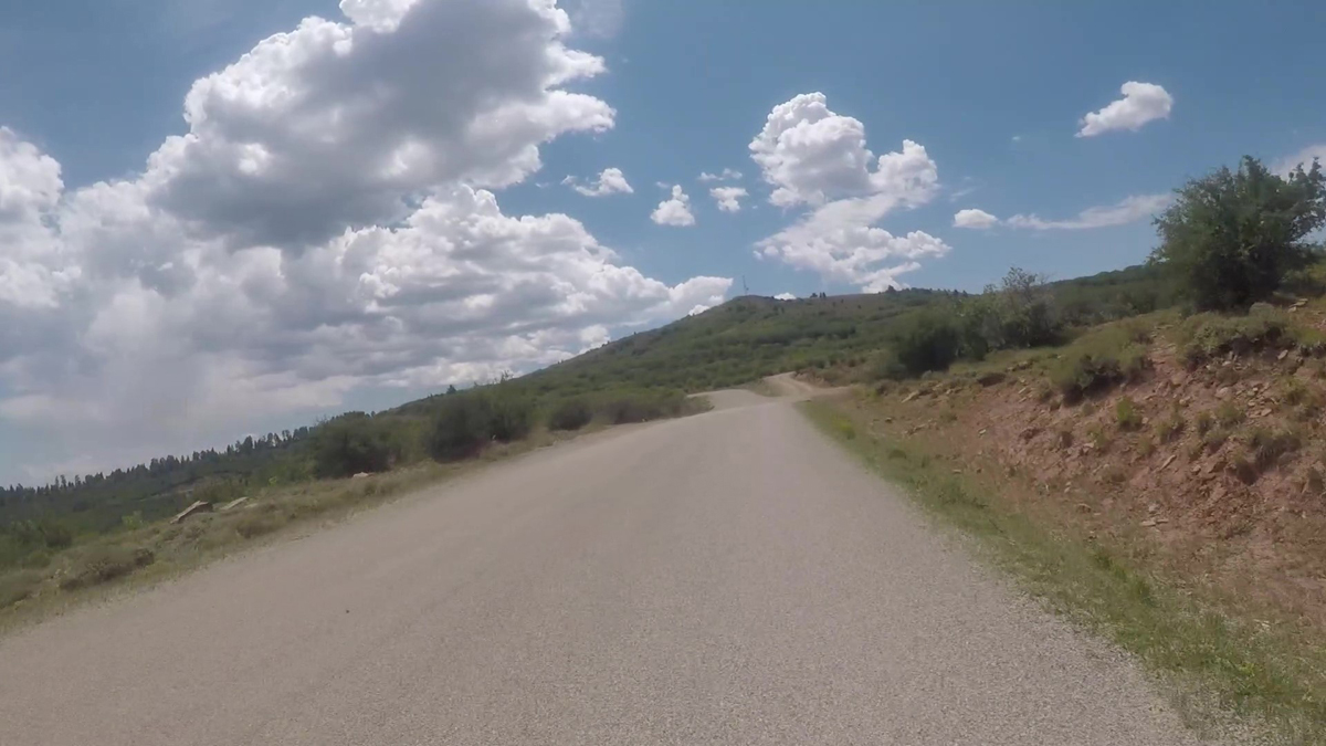
After about seven miles the grade increases but not significantly as the scrub brush and stunted trees which have appeared due to elevation gain pull closer, the road beginning to twist a bit up the slanted terrain. The increased grade can be a good warm up for things to come; the towering mountains ahead of you another reminder perhaps. After 10.6 miles you reach a junction with La Sal Loop Road continuing to your right. That route also continues to climb but its description is for another day. To this point you have gained almost 2,500 feet, a worthy accomplishment in itself. If you are new to climbing this may be a good turnaround point. If looking for the summit, keep straight on an unnamed road to pass by a short, pointy hill to your right, the route almost flat. Soon the grade picks up, slowly at first but quickly it is quite solid. The road turns to the left and flattens briefly as you cross another cattleguard. Beyond however, you can see the roadway becoming steeper as it bears to the right. Your pleasant climb is over for the day as the grade is now double digit, the beginning of the most difficult stretch on the mountain. Soon the road is right on the edge of the ridge with nice views to the north, a classic stretch of road bike climbing.
After just over a mile of challenging pedaling, the grade eases but not by much. Another double-digit ramp is then encountered along the ridgeline before the road eases again and turns back to the east.
Eventually some large pine trees emerge as you gain altitude, a pleasant sight in the mostly dry surroundings. However, there are not enough of them to throw significant shade so expect to be in the sun almost all the way up on this climb.
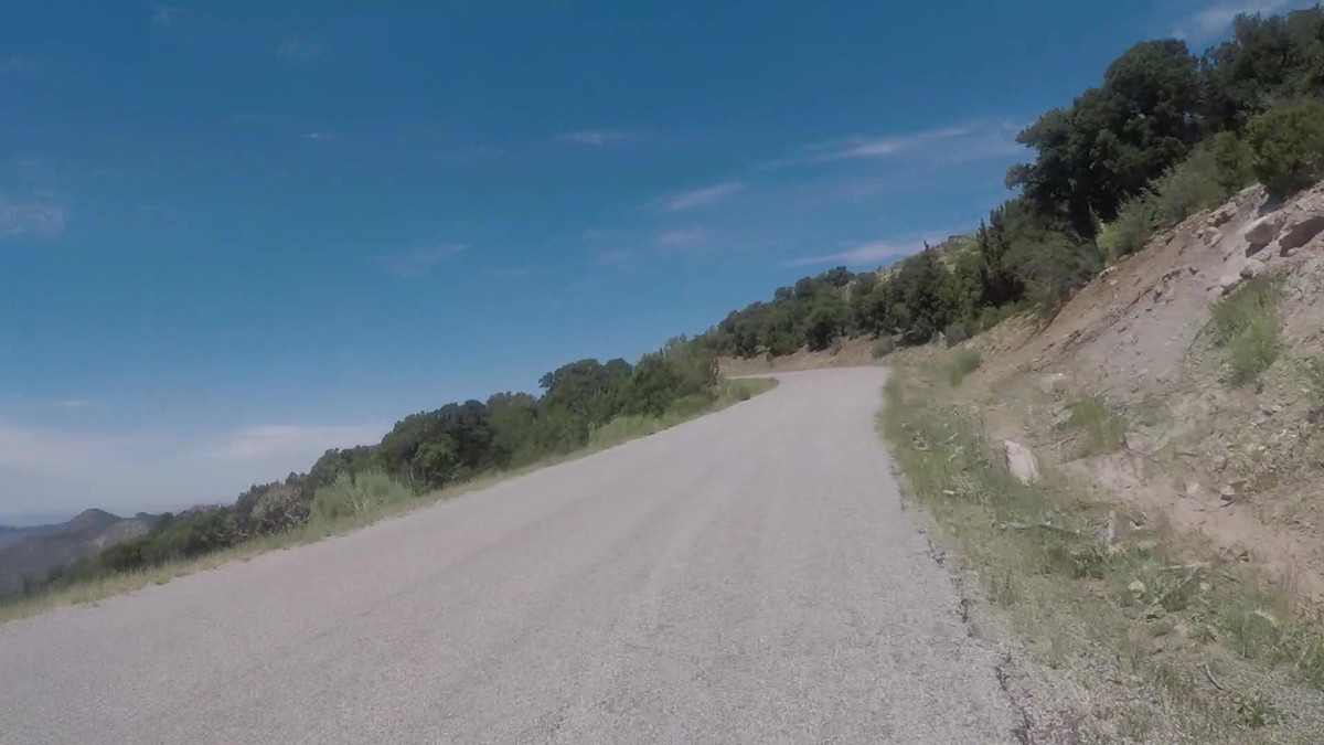
As you get closer to the top the grade eases further and you cross one more cattle guard. You have gained over 4,000 feet of elevation to this point but at least the grade is moderate and mostly steady on this upper section. As you pass a small parking area on the left the route slowly turns to the right and the paved climb soon comes to an end as the road turns to gravel at well over 8,000 feet of elevation. This is one of the ten most difficult road bike climbs in Utah. Now it’s time to enjoy the fun and fast in places descent to return to climb start at Highway 128.
For a video of the climb route, see – https://www.youtube.com/watch?v=Z82rvcj0-_I
This is simply an outstanding bike ride, world class and deserving of MUCH more attention than it gets. I’m amazed that almost every time I ride it, I see no other riders, and (past Castle Valley) the traffic is almost non-existent. The scenery is as good as it gets!
Thanks John, for another great ride review . . .