road) in Ibapah.
By Wayne Cottrell
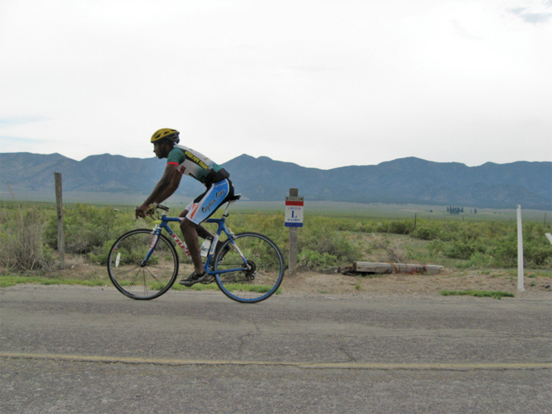
The Ibapah Valley Ramble is a 24.2-mile, out-and-back ride on Ibapah Road in extreme southwestern Tooele County. The route is from Ibapah, at the Deep Creek Pony Express Station, to Goshute (main community on the Goshute reservation) and back. The lightly traveled road climbs gradually from Ibapah to Goshute. Start at the Deep Creek Pony Express Station, Ibapah (on Ibapah Road). The terrain features a gradual ascent, with a few rollers, to the turnaround point, followed by a descent. The minimum and maximum elevations are 5,288 and 6,160 feet, respectively. To get there, head south on US 93A from West Wendover, Nevada. Turn left at Ibapah Road, and continue heading south to the Ibapah Valley (return to Utah from Nevada). The Deep Creek Pony Express Station is 1.5 miles south of the Ibapah Trading Post (refreshment, lavatories, lodging). Ibapah is 59 miles south of Wendover and West Wendover.
The Ride
The Goshute tribe, once 20,000 strong, occupied a chunk of the Great Basin Desert extending from the Great Salt Lake in Utah to the Steptoe Range in Nevada. It is likely that the Shoshoneans, ancestors of the Goshutes, entered the Great Basin from Death Valley in California about 1,000 years ago. The tribe managed to thrive in the harsh, arid Great Basin. Without any formal agricultural techniques, the Goshutes survived by eating wild seeds and roots, insects, reptiles, birds, rodents, and larger game. With the arrival of Mormon missionaries in 1859, the Goshutes learned farming methods. The Goshute population has dwindled over the years; their current estimated population is only 500. The Goshutes occupy several small reservations in Utah and Nevada, including areas in Ibapah Valley and Skull Valley. To boost their economic prospects, the Goshutes agreed to store 40,000 metric tons of spent nuclear fuel on their property in Skull Valley. The Nuclear Regulatory Commission had approved the Goshute application, but political leaders in Utah—as well as some Goshutes—were fighting the facility’s placement. In addition to this outrage, the Skull Valley reservation is near a nerve gas storage facility, as well as a magnesium plant having some severe environmental issues.
Ibapah Valley (also referred to as Deep Creek Valley) is located in the extreme southwestern corner of Tooele County, just east of the Nevada border. The valley is cut off from Skull Valley’s environmental concerns by the tall Deep Creek Mountains (the elevation of Ibapah Peak is 12,087 feet). The mountains leave the valley fairly isolated. In fact, access by paved roads is only from Nevada. To get to Ibapah Valley from Utah, the traveler is limited to unpaved roads out of Juab County, to the southeast. The valley’s isolation makes it one of the most remote (if not the most) in Utah. Ibapah and Goshute are the primary settlements, the latter of which is the central community on the Goshute reservation.
Despite Ibapah’s remoteness, it was once a key stop along several historic routes. For example, Ibapah was established as the Deep Creek Pony Express station in conjunction with the arrival of Mormon missionaries in 1859. Although the Pony Express was discontinued in 1861, Ibapah remained. Later, Ibapah was along the Overland Stage route and, still later, the Lincoln Highway (the United States’ first cross-country highway). Start at the Deep Creek Pony Express Station marker located adjacent Ibapah Road. A smaller marker on the opposite side of the road signifies the passing of the Lincoln Highway through this area. Turn right and head south on Ibapah Road. The mighty Deep Creek Range is on the left, and the wide-open expanses of Ibapah Valley, and then Nevada, are on the right. The Pony Express, Lincoln Highway, and Overland Stage routes passed around the tip of the Deep Creek Range to the north of here. To the south, the Deep Creeks gradually get higher, reaching from 7,708 feet just north of Ibapah to 12,087 feet just south of Goshute. Ibapah Road curves left at mile 0.1. The historical routes all turned right here and headed west into Nevada. Continue heading south. The undulating road climbs gradually from Ibapah (5,288 feet) to Goshute (6,160 feet). The land surrounding the road seems desolate to the untrained eye, with little more than dense, low desert scrub. An airstrip is on the right at mile 3.0. A short climb and a cattle guard at mile 11.6 announce the entry into Goshute, a small community on the Goshute reservation. A few houses and buildings line the road. Turn around at the intersection with Tempi Poi Lane (on the right) and Poho Poi Lane (on the left), adjacent a small, federally funded housing complex and school.
The downward slope of the valley is evident as you look ahead to the north. Exit Goshute at mile 12.6 (cattle guard). The gradual descent is frequently interrupted by mini-rollers (short climbs). The Deep Creek Range is to the right. The airstrip, along with a few buildings, is on the left at mile 20.7. The road curves right at mile 24.0 as you rejoin the Pony Express, Overland Stage, and Lincoln Highway routes. The ride concludes at the Deep Creek Pony Express Station marker. The station was actually located about 1 mile west of the marker. The Overland Stage continued to operate until the transcontinental railroad was completed in 1869. After a period of hibernation, transcontinental travel returned to Ibapah with the completion of the Lincoln Highway in 1912. The highway was eventually supplanted by preferred alignments, such as Route 66, and, later, the Interstate System.