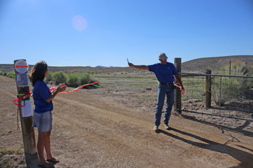
The 47 miles of trail are open full time to the public now and the parking on the Spicer Ranch is open to the public as well. The Trail Head for all Spicer Ranch and Transvaal trails is on the Spicer Ranch. Travel north from the town of Beatty approximately 7 miles to mile marker 66.5 at Boiling Pot road. Turn right and follow the signs to the public parking area. Restrooms and trail maps provided.
Spicer Ranch Trails
There are 4 distinct trails completed at the Spicer Ranch.
1. Spicer Ranch Trail – 2.5 Miles. This is a rolling trail of moderate difficulty that travels past ponds and active quarries. You will travel to the eastern most reaches of the Ranch before looping back around South Pond and returning to the trail head. You can reach the Southpond Mountain Trail from this route.
2. STORM Trail – .75 Miles. This easy route travels along a lush green meadow with a natural seep where you may hear toads and see other wild life. It is quite a treat to see green grass and water in a desert environment. You can access the Spicer Ranch Trail and Dynamite Trail for this route.
3. Southpond Mountain Trail – 1 Mile. This intermediate trail is a mellow climb up to the top of Southpond Mountain. From here you will be able to view the entire Ranch and Valley below. Once on top you can take a small loop and head back down the way you came.
Please give downhill riders the right-of-way so they don’t go over the handlebars and into the rocks trying to get out of your way.
4. Dynamite Trail. 2 Miles. Named for the exploratory mining long ago, this trail is all its name suggests. It will hand you 1650 ft of climbing over just 2 miles. To ride or hike this trail will take good physical and technical skills. You can also enjoy the Dynamite Ridge Point look out and take your selfie with the ponds, green grass, and desert scape in the back ground. It will be Dy-No-Mite!
Transvaal Trails
Named for a historic mining district in the area, this trail system lies east of the Spicer Ranch and is accessed from the STORM Trail or south of the Trail Head. There are 8 separate routes in the Transvaal Flats Trail System created from existing burro trails and two-track roads.
Those burros sure do make some kick-ass trails!
1. Canteen Trail – 4.32 Miles. This is a fast paced single track burro trail.
2. Stirrup Trail – 2.40 Miles. A fun extension off the Spicer Ranch trail back to the trailhead or to connect to Canteen.
3. Junction Trail – 2.75 Miles. This is a fast paced single track burro trail that links between the Canteen, Stirrup, and Plutonium Ridge Trails.
4. Plutonium Ridge Loop – 10.42 Miles. This is a rolling fast paced single track burro trail. You can also use the cut-off for a shorter ride.
5. Lariat Loop – 3.90 Miles. A fun single-track extension off the canteen trail to create a longer loop ride.
6. Windmill Road – 10.35. This is a nice long gravel grinder ride to the edge of Area 51.
7. Beatty Wash -2.3. This section of trail allows you to explore an interesting section of the Beatty Wash and is a nice way to create a loop between the Plutonium Ridge Loop and Canteen. If you venture past the defined section the wash includes deep sand and gravel and may be rideable on a Fat Bike.
8. Brad’s Screamer – 1 mile. This ripping fun downhill links the Plutonium Ridge to Beatty Wash for a return ride on Canteen.
When you roll into the town of Beatty these days you will also notice Banners along the street that say “Welcome Mountain Bikers”. All of these merchants have free trail maps and directions.
More to Come:
This project is only beginning, so check out the master plan maps and see what is coming next. TRAILS-OV has received generous support from Barrick Gold to complete a comprehensive trails master plan. The mapping is done and now they are is the process of developing a cooperative agreement with the BLM for an additional 130 miles of trail to be developed over the next 5 years.
Check out upcoming plans, the next events, trail projects or to just donate go to the public website www.Trails-OV.org. There you can download a trail brochure and view the interactive maps.