MISSOULA, MONT., Sept. 3, 2020 – Adventure Cycling Association is proud to announce the designation of the first U.S. Bicycle Routes in Wisconsin and California, expanding the reach of the U.S. Bicycle Route System (USBRS) to 29 states. In Wisconsin, USBR 30 and USBR 230 utilize several off-road trails to connect Milwaukee to the Mississippi River at Bluff Siding. In California, USBR 50 connects Lake Tahoe and the existing USBR 50 in Nevada to the San Francisco Bay Area. Together, they add over 500 miles of new routes to the USBRS.
“The COVID-19 pandemic is challenging everyone to find new and creative ways to spend their recreation and vacation time,” said Jim Tymon, American Association of State Highway and Transportation Officials (AASHTO) executive director. “Many people have turned to the bicycle for daily commuting, recreation and tourism. State departments of transportation are committed to providing more travel options to get people where they want to go. And with the addition of U.S. Bicycle Routes in California and Wisconsin, there are now 29 states that are part of the USBRS, which is connecting communities both large and small and urban and rural.”
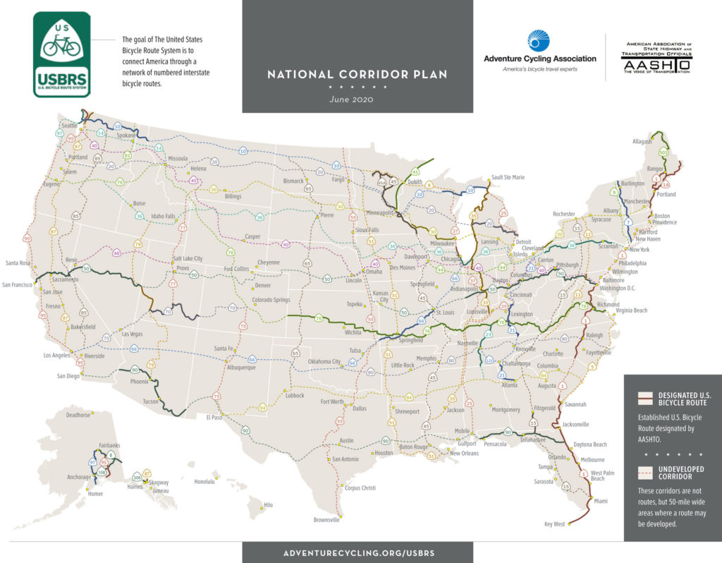
The USBRS is developing a national network of officially recognized, numbered and signed bicycle routes. All U.S. Bicycle Routes are designated by AASHTO. With the new designations, the USBRS now boasts 14,598 miles of routes in 29 states and Washington, D.C. At least 40 states are currently developing U.S. Bicycle Routes.
Digital maps for all designated U.S. Bicycle Routes are available to the public for free, thanks to a partnership with Ride with GPS, from the Adventure Cycling website.
Adventure Cycling Association, a nonprofit organization that provides national coordination for the U.S. Bicycle Route System, partners with AASHTO to ensure states have the resources and expertise needed for successful route designation.
Wisconsin
In Wisconsin, USBR 30 begins in Milwaukee, at Lake Michigan, and ends in Bluff Siding, on the Mississippi River. The 269-mile route uses multiple types of existing bicycling infrastructure, including state and county bike trails, local roads and bike paths, and state and county highways. Wisconsin also announces the designation of USBR 230, a 40-mile alternate route that provides routing directions for use when the Merrimac Ferry (Colsac III) is not in operation.
“Establishing this route has been years in the making and it’s a great accomplishment for the state,” said Craig Thompson, Wisconsin Department of Transportation (WisDOT) secretary-designee. “More than 70 communities in 11 counties worked together to create this great transportation corridor that will be enjoyed by local, regional and national bicyclists.”
USBR 30 and USBR 230 showcase many natural and cultural resources across the state, including forests, vibrant urban areas and the meandering Driftless Region. Together the two routes guide bicyclists through more than 160 miles of Wisconsin Department of Natural Resources (WisDNR) state and county trails, including the Glacial Drumlin State Trail and the Elroy-Sparta State Trail.
“More than half of USBR 30 is made up of our state bike trails,” said Preston Cole, WisDNR secretary. “This new route gives bicyclists detailed directions to navigate across the state, providing yet another way to experience our great outdoors.”
More information about USBR 30 and USBR 230 can be found on the Wisconsin DOT website at https://wisconsindot.gov/Pages/travel/bike/bike-maps/usbr.aspx.
California
In California, USBR 50 begins in South Lake Tahoe, at the Nevada border, and ends in San Francisco. The 233-mile route climbs across the Sierra Nevada, winds through the Sacramento Delta and traverses the Bay Area. It incorporates a ferry across the San Francisco Bay and provides a seamless connection to USBR 50 in Nevada.
Leaving South Lake Tahoe, USBR 50 climbs over several mountain passes and follows the Mormon Emigrant Trail Road, featured in the 2018 and 2019 Tours of California. In El Dorado County, USBR 50 utilizes the popular El Dorado Trail. This paved rail trail segment treats cyclists to a restored railroad trestle 200 feet above Weber Creek.
From Folsom to the state capital city of Sacramento, USBR 50 utilizes the Jedediah Smith Memorial Trail, providing over 30 miles of car-free cycling.
Continuing to the west, USBR 50 passes the Peña Adobe, located within the 470-acre Lagoon Valley Park. Built in 1842, Peña Adobe is the oldest structure in Solano County. Cyclists on USBR 50 can take in the scenic vistas of the Suisun Marsh, one of the largest freshwater ecosystems in California, before dropping into the greater San Francisco Bay and enjoying the waterfront views.
From the “California Alps” to the agriculture of the Central Valley, from the Sacramento River Delta to the San Francisco Bay, USBR 50 illustrates the diversity of natural beauty within California.
“USBR 50 in El Dorado County not only provides a scenic bicycle route over the Sierra Nevada but also
connects the largest communities in our county,” said Mike Bean, Friends of El Dorado Trail board member. “Long term, I hope we can improve USBR 50 to serve not only visitors to the county, but local residents cycling for recreation, biking to work, and running errands by bike.”
With the designation of USBR 50 in California, the USBRS is now only one state away from a complete coast-to-coast U.S. Bicycle Route connection. A future connection across Colorado will one day make this seamless routing possible.